
Discover why Fishtrap Lake Resort in Sprague, WA is ideal for extended RV stays, with spacious seasonal sites, lake access, privacy, and outdoor recreation.
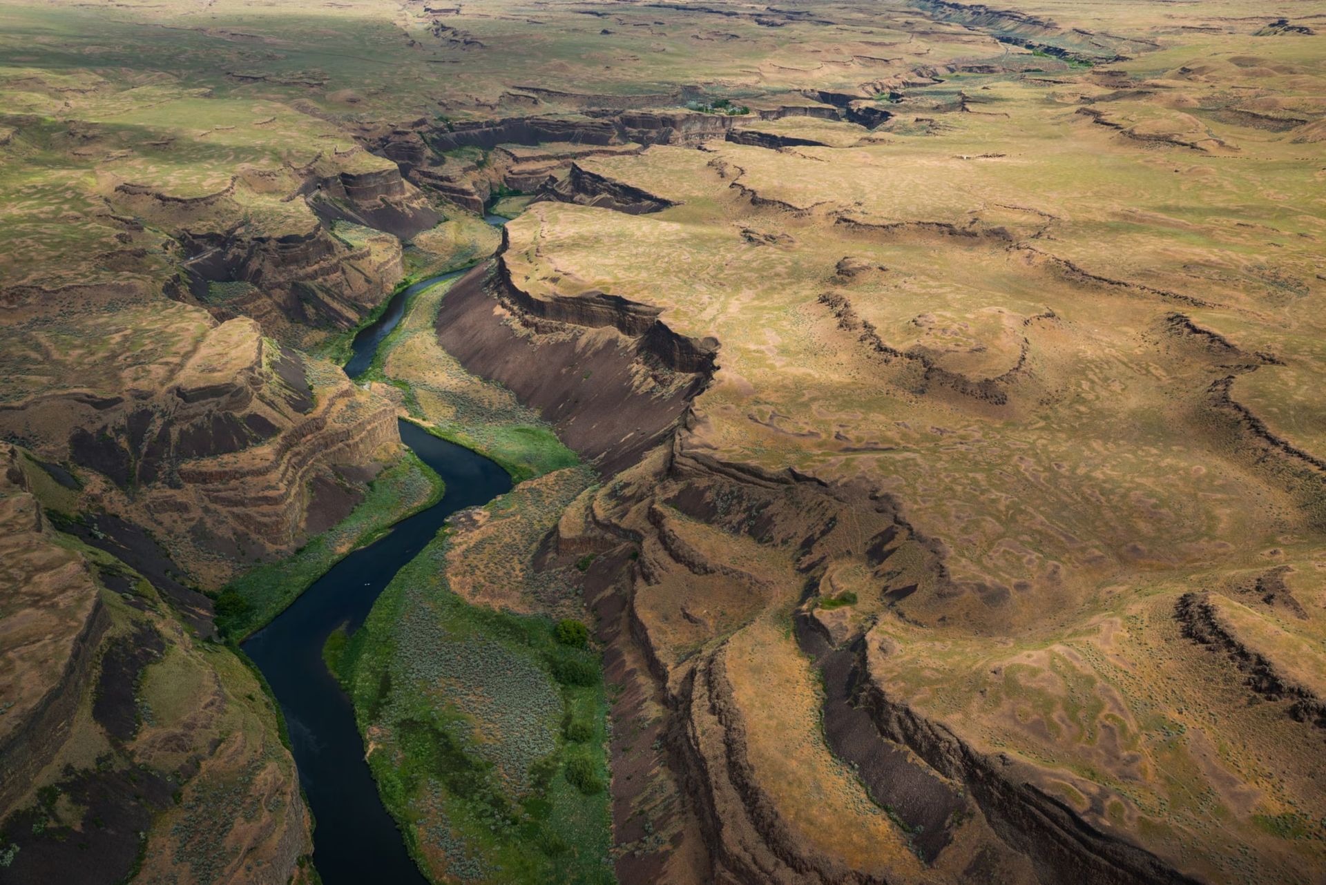
Discover the best things to do in Eastern Washington, from Palouse Falls and Spokane to hiking, fishing, and scenic outdoor adventures near Sprague, WA.

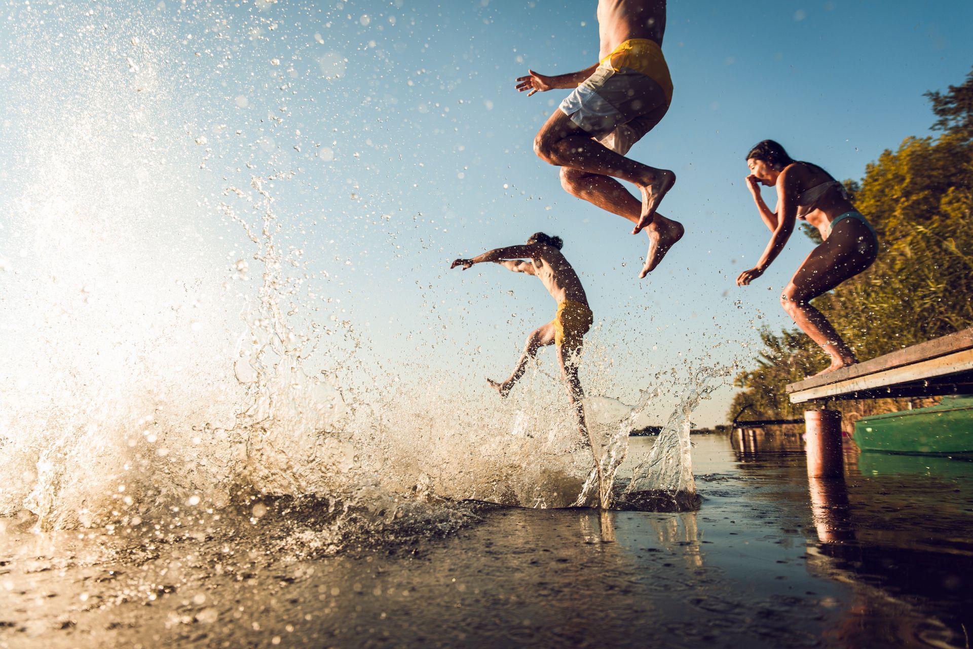
Escape the screen and reconnect with nature at Fishtrap Lake Resort in Eastern Washington. Discover the perfect digital detox getaway near Spokane, WA.
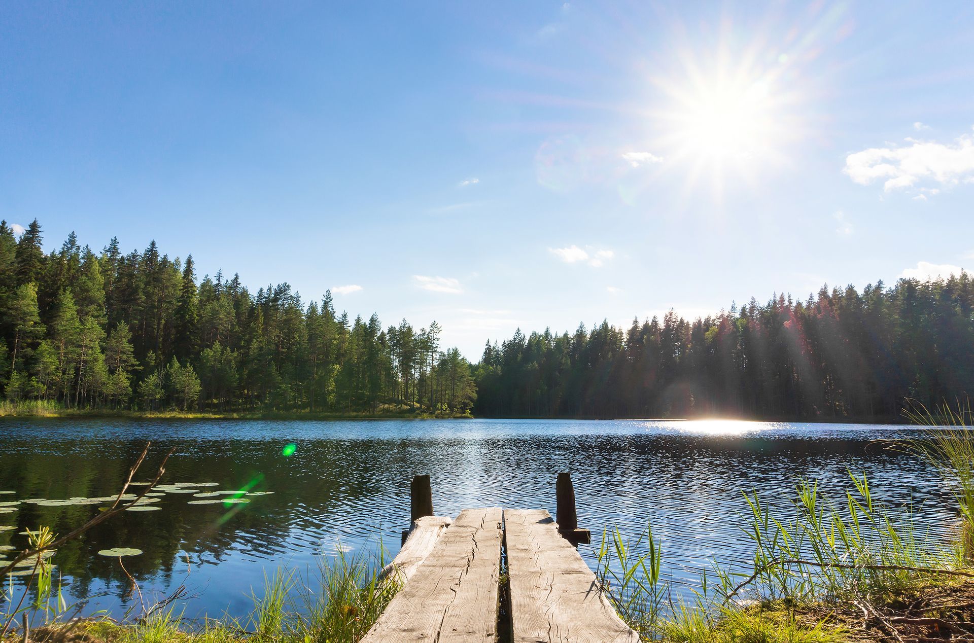
Plan the perfect day at Fishtrap Lake near Sprague, WA. Enjoy morning kayaking, scenic hikes, trout fishing, and relaxing lakeside activities.
From fishing in the morning to nights by the fire, a stay at Fishtrap Lake Resort is one you won’t soon forget. Enjoy the best of Eastern Washington.